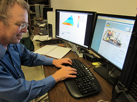
Jim Schafer
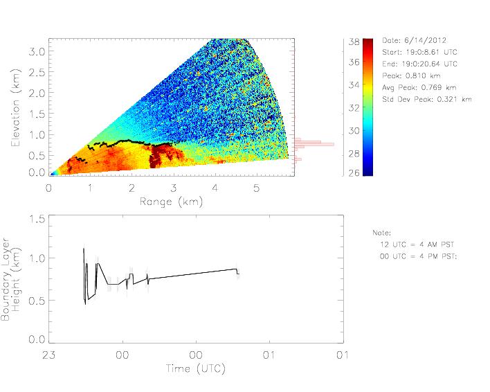
I joined the lidar group in January of 2012 and am working toward a master's degree in Geosciences. My thesis research involves using the lidar to study the height of the convective boundary layer in Chico. I will compare the National Oceanic and Atmospheric Administration's (NOAA) radar profiler, also in Chico, with this summer's (2012) lidar data. Objective determinations of boundary layer height from both systems will be evaluated.
To access animations and images from the REAL in Chico for summer 2012,
click here.